Hayli Gubbi’s Explosive First Impression: A Dramatic Eruption in Ethiopia
On November 23, 2025, the Hayli Gubbi volcano in northern Ethiopia erupted explosively for the first time on record. This shield volcano, located in the Danakil (or Afar) Depression, began releasing ash and volcanic gases around 11:30 a.m. local time (8:30 Universal Time). The eruption produced a large plume that rose into the upper troposphere and drifted northeast. The ash cloud traveled far, crossing over northern India and China, where it caused disruptions to air traffic.
The Moderate Resolution Imaging Spectroradiometer (MODIS) on NASA’s Aqua satellite captured an image of the eruption about four hours after it began. Satellite data revealed that the volcanic plume reached an altitude of approximately 15 kilometers (9 miles) above sea level. It also contained around 0.2 teragrams (220,000 tons) of sulfur dioxide, according to a report from the Global Volcanism Program. In addition to the ash plume, a lighter-colored cloud, likely composed of pyroclastic material, spread northward near the ground. For comparison, an earlier image from November 15 shows the volcano before the eruption, with the surrounding land appearing dry and mostly light brown, except for the darker volcanic rock near Hayli Gubbi.
Geological Context and Activity Leading Up to Hayli Gubbi’s Explosive Eruption
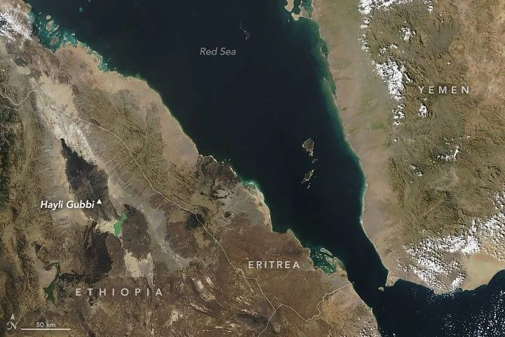
Hayli Gubbi is situated in a remote part of East Africa where tectonic plates are pulling apart. This tectonic activity allows magma to rise to the surface, feeding several active volcanoes in the region. Because of its isolated location, scientists are uncertain when Hayli Gubbi last erupted. Geological evidence suggests it may have erupted within the past 8,000 years, but some experts believe it could have been as recently as a few centuries ago.
The volcano lies about 12 kilometers (7 miles) south-southeast of Erta Ale, Ethiopia’s most active volcano. Erta Ale is famous for its long-lasting lava lake, which has been active for decades. After Erta Ale’s most recent eruption in July 2025, scientists monitored magma movement beneath the surface using interferometric synthetic aperture radar (InSAR) and other methods. They found that magma traveled southward from Erta Ale, passing beneath Hayli Gubbi and continuing beyond it. This magma intrusion likely triggered the low-level activity observed at Hayli Gubbi starting in late July 2025.
According to the Centre for Observation and Modelling of Earthquakes, Volcanoes and Tectonics (COMET), this early activity included emissions of sulfur dioxide, persistent white clouds in the summit crater, and ground uplift measuring several centimeters. COMET co-director Juliet Biggs stated in a recorded message that the magma intrusion following Erta Ale’s eruption probably caused these changes.
Impact and Aftermath of Hayli Gubbi’s Explosive Eruption
Hayli Gubbi’s eruption was brief, subsiding by November 25, 2025. Despite its short duration, the eruption caused significant changes to the landscape. Ashfall covered large areas, including nearby villages in Ethiopia’s Afar region. Residents experienced respiratory problems due to the ash, and contamination of grass and water sources affected livestock, according to news reports.
The eruption also altered the volcano’s summit. A detailed image taken on November 24 by the Operational Land Imager-2 (OLI-2) on Landsat 9 shows the craters atop Hayli Gubbi and neighboring Erta Ale. The eruption enlarged Hayli Gubbi’s existing crater, which appears partially filled with a low-lying cloud in the image. Additionally, two new craters formed to the southeast of the main crater. Ash deposits now cover older lava flows on the volcano’s slopes, visibly changing its appearance.
This event marks a significant moment in the geological history of the region, as Hayli Gubbi’s explosive eruption was previously undocumented. The eruption highlights the dynamic nature of the East African Rift system, where tectonic forces continue to shape the landscape and influence volcanic activity.
NASA Earth Observatory images by Michala Garrison, using MODIS data from NASA EOSDIS LANCE and GIBS/Worldview, and Landsat data from the U.S. Geological Survey. Story by Lindsey Doermann.
For more stories on this topic, visit our category page.
Source: original article.